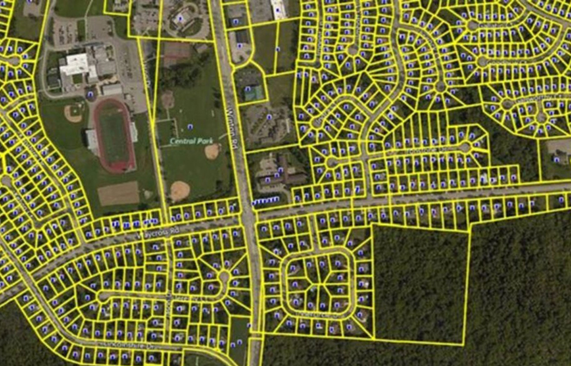
GREAT RESULT MEASUREMENTS
G.R. Mirza & Co.
Since its establishment in 1974, G.R. Mirza & Co. has steadily developed into one of the leading land surveying firms in Pakistan.
50 Years Of Undefeated Success
Established in 1974, G.R. Mirza & Co. has steadily grown into one of the leading land surveying firms in Pakistan. Over the past five decades, the company has built a strong reputation for delivering high-quality land surveying solutions, innovative land surveying practices, and a commitment to excellence.
500+
Clients
2000+
Successful Projects
50+
Year of experience
100%
Client Satisfaction
Quality Services

Area
Area surveying is the precise measurement and mapping of land parcels to establish boundaries, calculate surface extents, and generate geospatial data essential for engineering design and land management.

As Built
As-built surveying captures the exact spatial data of completed structures and utilities, ensuring accurate records of deviations from design for verification, maintenance, and future development.
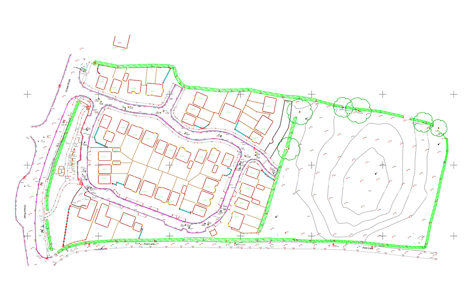
Boundary
Boundary surveying precisely establishes property lines and legal land limits through field measurements and cadastral data, ensuring accurate definition for ownership, planning, and dispute resolution.
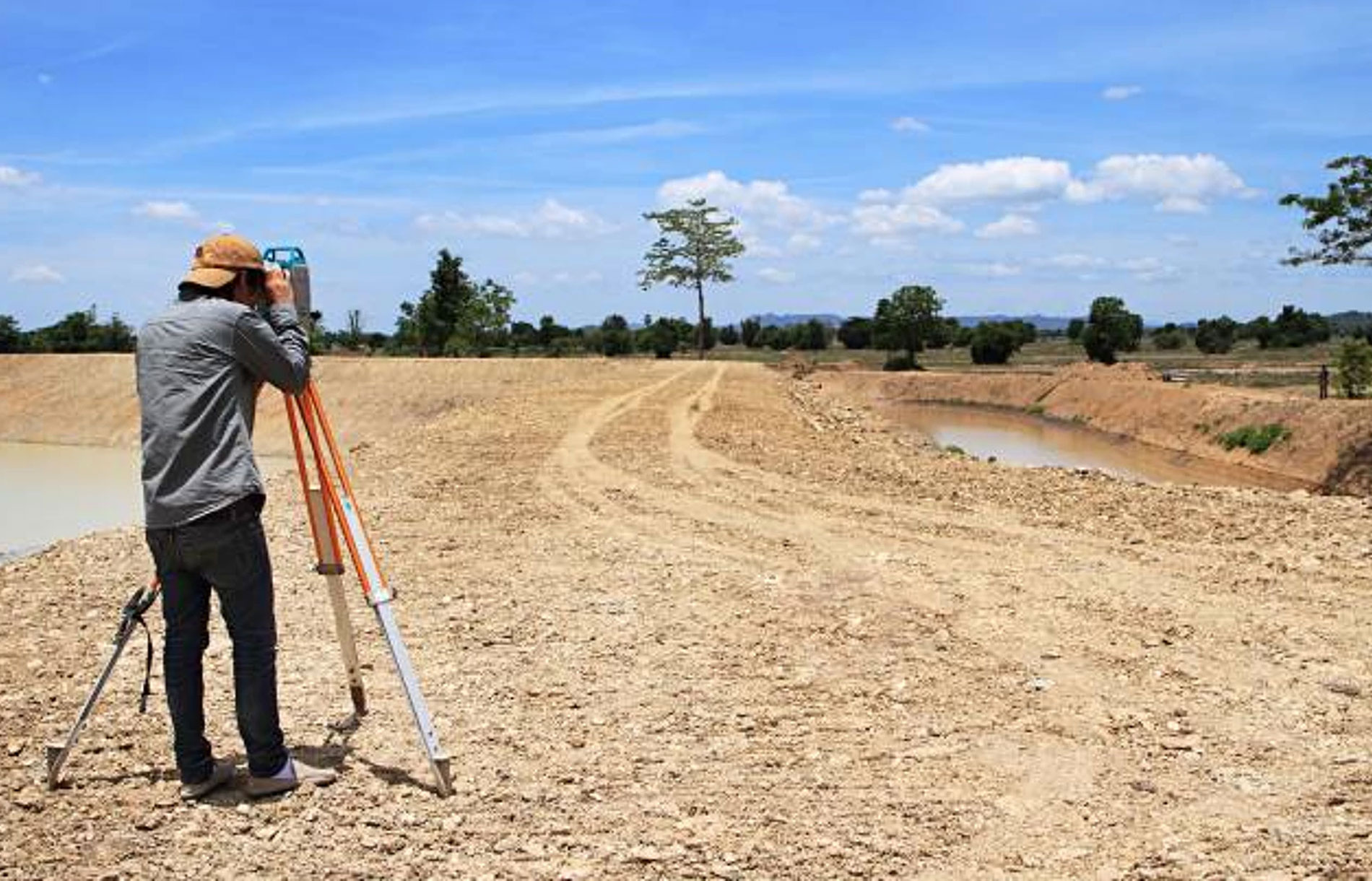
Construction
Construction surveying provides precise layout and alignment of structures, utilities, and infrastructure, ensuring accurate positioning of works in accordance with engineering and architectural design plans.

Demarcation
Demarcation surveying defines and marks physical land boundaries on the ground based on legal and cadastral records, ensuring clarity of ownership and prevention of encroachment.

Drone
Drone surveying utilizes UAVs equipped with high-resolution sensors to capture aerial imagery and geospatial data, enabling rapid, accurate topographic mapping and site analysis.
Sustainability
Sustainable surveying integrates eco-friendly methods and advanced technologies to minimize environmental impact while delivering accurate geospatial data for responsible planning and development.
We Follow Best Practices
- Accuracy & Precision
- Regulatory Compliance
- Comprehensive Documentation
- Use of Modern Technology
Request a Quote
Ready to Work Together? Build a project with us!Frequently Asked Questions
Land surveying is a specialized branch of civil engineering that involves the precise measurement, mapping, and analysis of land parcels using geodetic principles, GPS/GNSS systems, total stations, drones, and GIS technologies. It defines property boundaries, determines land elevations, and produces geospatial datasets essential for legal documentation, design engineering, and infrastructure development.
Accurate land surveying ensures that engineering designs are aligned with actual site conditions. It minimizes errors in construction layout, prevents boundary disputes, supports compliance with legal and cadastral requirements, and provides the foundational data for planning, land subdivision, road networks, utilities, and large-scale infrastructure. Without precise surveying, projects risk misalignment, cost overruns, and legal complications.
- Pre-Project Stage – Boundary surveys and topographic mapping for feasibility and design.
- Construction Stage – Layout, staking, and monitoring to ensure works conform to design specifications.
- Post-Construction Stage – As-built surveys to verify completed structures and update records.
- Legal/Administrative Stage – Cadastral and demarcation surveys for land registration, ownership transfer, and dispute resolution.
- Boundary Surveys – Establish property lines and legal limits.
- Topographic Surveys – Map natural and man-made features with elevation data for design and planning.
- Construction Surveys – Provide layout and alignment for infrastructure and building works.
- As-Built Surveys – Document completed works against design specifications.
- Drone/Photogrammetric Surveys – Capture high-resolution aerial imagery for large-scale mapping and analysis.
- Demarcation Surveys – Physically mark boundaries on the ground as per legal records.
- Use of state-of-the-art instruments such as GPS/GNSS receivers, robotic total stations, UAVs, and laser scanners.
- Implementation of redundant measurement techniques and error-checking procedures.
- Adherence to national and international standards (cadastral, engineering, and geodetic codes).
- Application of digital data processing via GIS, CAD, and surveying software to validate and optimize results.